SafePassage
CASE NR.5-2025
City of Toronto, Open Data Awards
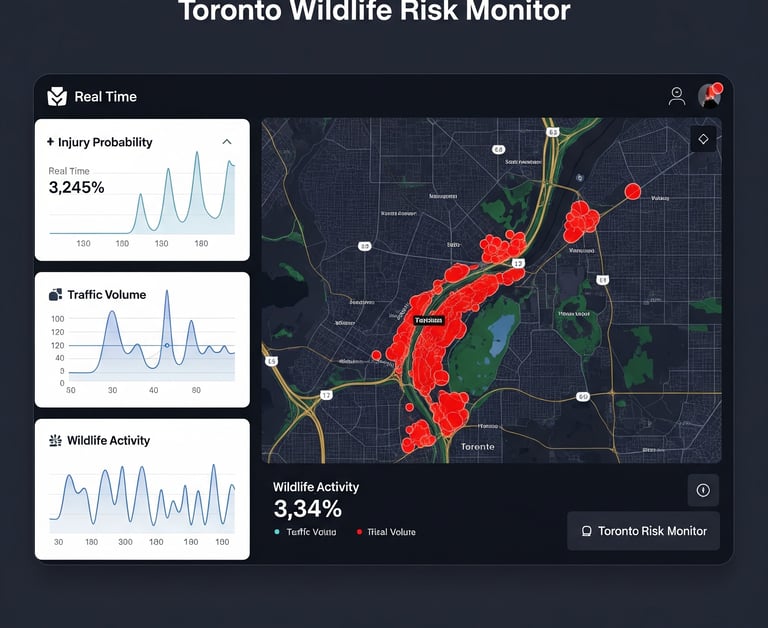
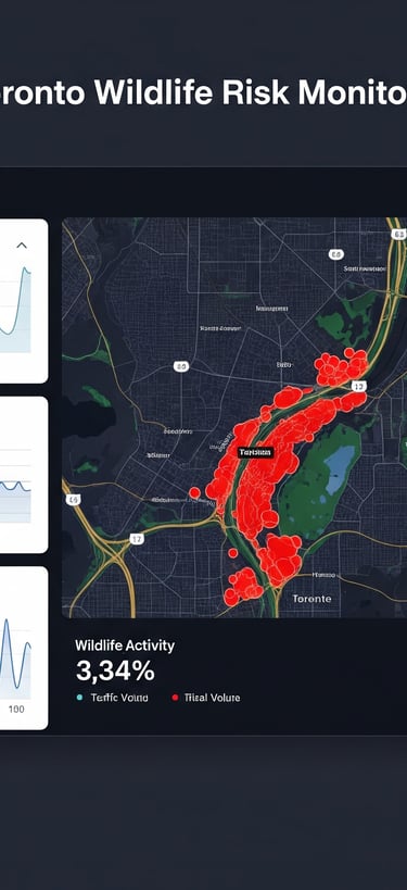
SafePassage - The Wildlife-Aware Navigation Data Feed
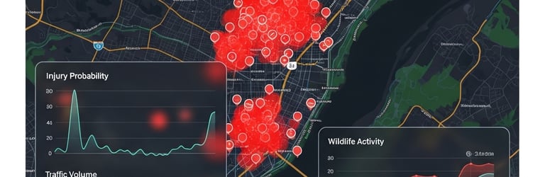
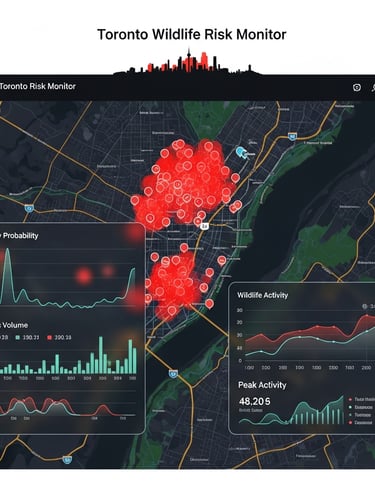
This project is for the 2025 Open Data Award that addresses the critical information gap between known wildlife danger zones and real-time driver awareness. The data analysis reveals that Toronto's wildlife injuries are likely highly concentrated in specific corridors, yet drivers currently have no way of knowing when they are entering a high-risk zone. The project addresses the growing conflict between urban infrastructure and wildlife, specifically the rising volume of injured and deceased wildlife reports in Toronto. My analysis of 311 Service Request data shows that "Injured - Wildlife" and "Cadaver - Wildlife" calls are consistently ranked as a top 5 complaint category, with reports for injured animals increasing by nearly 10% year-over-year.
The current municipal response system is reactive: it only mobilizes resources after an animal is injured or killed. This leads to:
Animal Suffering: Prolonged distress for injured animals awaiting rescue.
Public Safety Risk: Traffic hazards caused by animals on roads and swerving drivers.
Inefficient Resource Allocation: Rescue and cleanup crews are deployed randomly across the city rather than focusing on high-risk areas.
The core problem is a lack of predictive insight that merges wildlife-related 311 data with traffic, geographic, and temporal data. This project solves this by moving from a reactive "clean-up" model to a proactive "prevention" strategy by identifying the precise locations and times where collisions and injuries are most likely to occur.
Static yellow "Deer Crossing" signs are famously ignored due to "sign blindness." As a result, drivers maintain high speeds through dangerous areas, leading to collisions that cause:
Avoidable Accidents: Sudden swerving to avoid animals is a major cause of single-vehicle collisions.
Wildlife Mortality: "Injured - Wildlife" reports have risen by nearly 10% year-over-year.
Traffic Trauma: The emotional and financial cost of striking an animal.
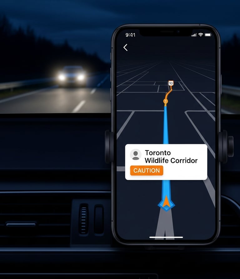
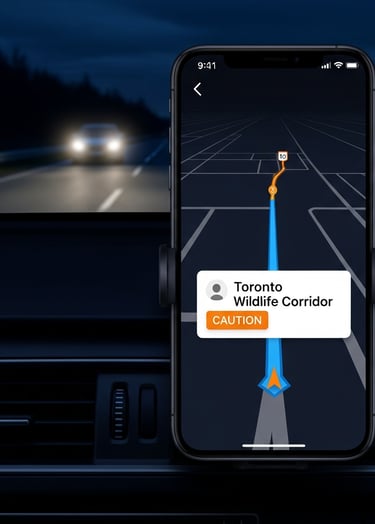
SafePassage aims to solve this by converting static city data into a dynamic data feed. Instead of a passive dashboard that only city staff see, it would create an API that pushes "High Wildlife Activity" warnings directly to Google Maps and Waze, alerting drivers audibly and visually before they enter a predicted hotspot. This would also be beneficial for tourism, where visitors can report animal injuries in real time, just like we would with a car incident.